
Our Test Sites
Explore Our Test & Reference Sites:
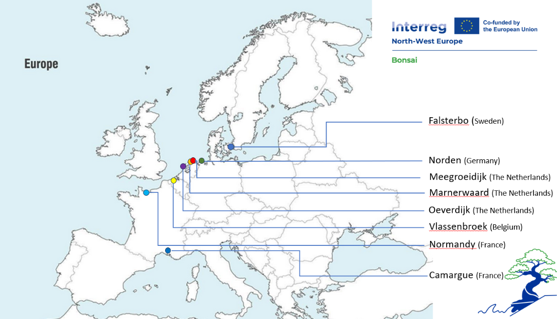
Our Test Sites:
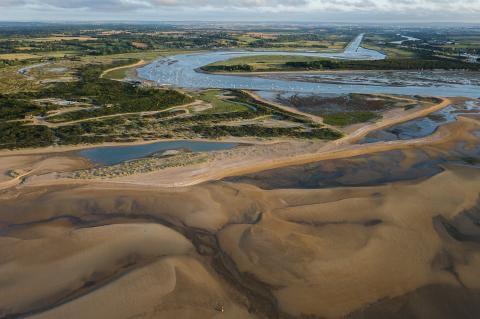
Normandy
(from Caen to Ouistreham)
The Normandy test site is an area stretching from Caen and its suburbs to the coastal city of Ouistreham in Normandy, North-Western France. A canal built for maritime activities links the two cities, while the Orne River flows parallel to the canal. The area includes a natural sandy levee with vegetation in a typical tidal estuary, inviting the Normandy site to expand on erosion, animal activity, and disaster management as pilot actions.
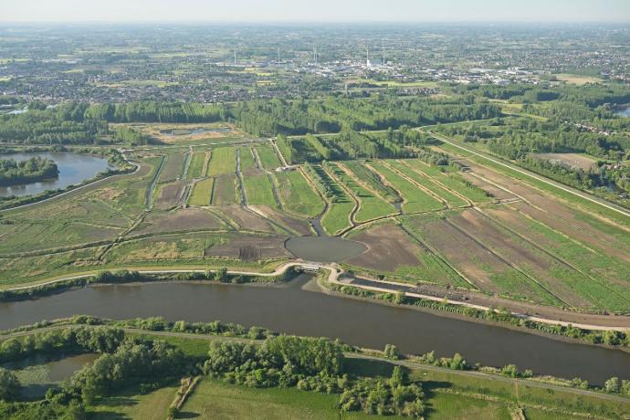
Vlassenbroek
The test site is situated on the levees of the flood control area Vlassenbroek at the right bank of the river Scheldt downstream the city of Dendermonde in Belgium. The test site is suitable for multiple erosion tests regarding wave impact and overflow, as well as vegetation monitoring and for crisis management excercises.
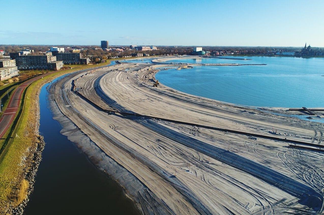
Oeverdijk
Oeverdijk is a test site situated in the Dutch city of Hoorn, built in the Markermeer Lake. This is a newly built sand levee for flood risk management in front of an old clay levee. Because of the already present monitoring systems this test site has unique potential for digital twin and visualisations.
Marnewaard
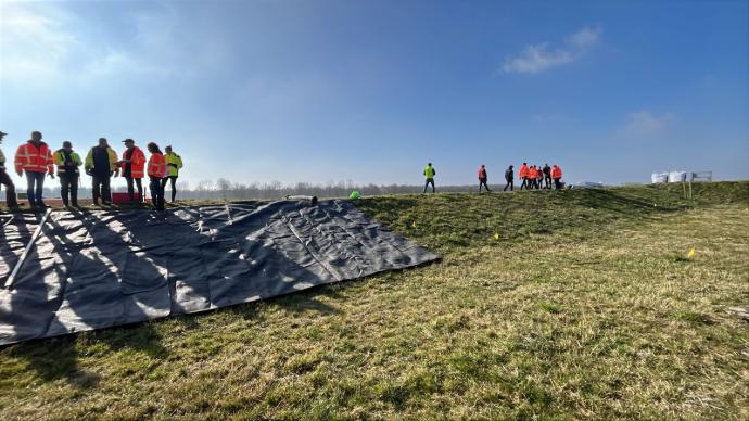
The Marnewaard test site is located on the Dutch military training grounds in the far north of The Netherlands, near the cities of Groningen and Dokkum. It contains a large basin lined with clay that holds water, with one side of the basin being constructed like an actual dike. This test site is uniquely suitable to test emergency measures under realistic conditions.
Meegroeidijk
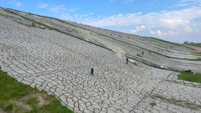
One of the test sites of the Meegroeidijk is called Westpolderdijk. This BONSAI test site is situated on the levee Westpolderzeedijk, located in the northwest of the Dutch province of Groningen and bordering the Waddenzee. It is a grass covered sea levee. The location is in use to experiment with the application of local dredged sludge, inviting investigation regarding erosion and biodiversity.
Norden
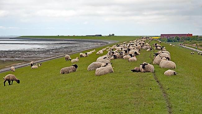
The Norden test site is located around the coastal city of Norden in Lower Saxony, in the hinterland of the German North Sea coast. The area is characterized by a low-lying coastal landscape protected from storm surges and tidal flooding by an extensive system of primary and secondary dikes. The region is increasingly exposed to coastal flooding due to sea-level rise and the potential occurrence of extreme storm surges and hydrological events.
Our Reference Sites:
Camargue
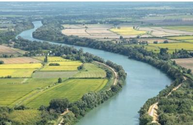
The Camargue reference site is located at the Rhône River in France and managed by SYMADREM. The reference site includes a hundred-year old Rhône levee, specifically focusing the Petit Rhône dike system. It aims to study the design and construction of various types of levees.
Falsterbo
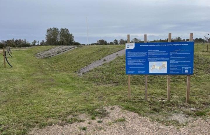
The Falsterbo reference site is located at the Falsterbonäset Cape on the Southern edge of Sweden, near the village of Vellinge. At this reference site, a test levee is built and dunes are reinforced for the LIFECAPEable project, with tests being conducted to test the levee strength with different local vegetation.